
Groundwater Availability Assessment
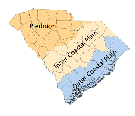
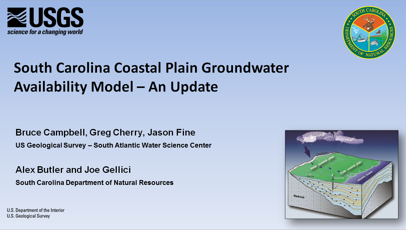
Groundwater flow models will be used to predict water-level declines, recharge rates, and impacts of groundwater withdrawals on aquifers, streamflows, and on other users in the inner and outer coastal plain.
- Meeting 1 - November 28, 2017
- Meeting 2 - December 14, 2017
- South Carolina Groundwater Availability Assessment: 2017 Stakeholder Outreach and Engagement Results
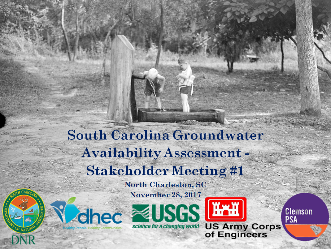
NOVEMBER 28, 2017 - MEETING
College of Charleston: North Charleston Campus
3800 Paramount Drive, North Charleston, SC 29405
2:00 PM - 4:00 PM
- Update of state water planning process by DNR;
- Introduction to the groundwater team and DNR model framework;
- Groundwater presentation by USGS;
- Guidance provided on how stakeholders can assist in creating a more true model of SC groundwaters and how to stay involved.
MEETING #1 AUDIENCE PARTICIPATION iCLICKER RESULTS - North Charleston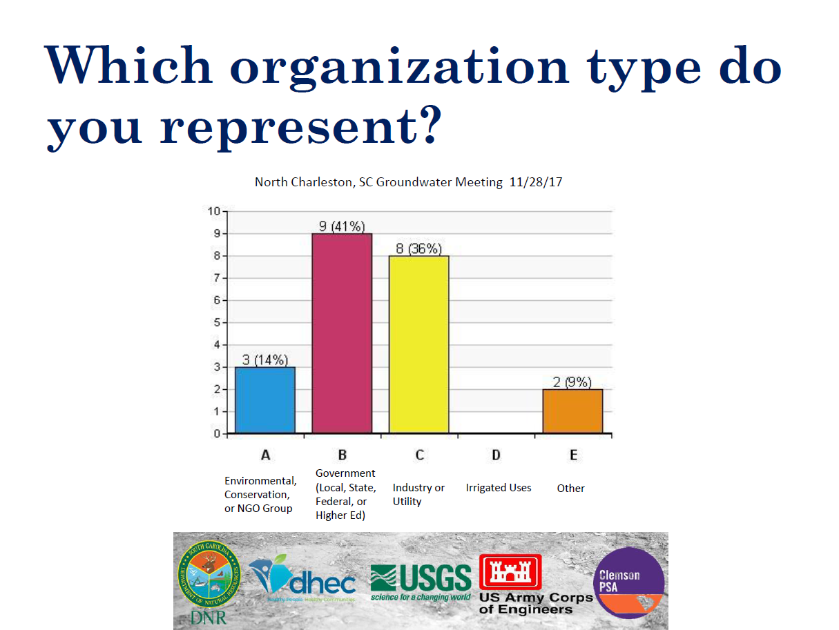
DECEMBER 14, 2017 - MEETING
The Phillips Market Center
117 Ballard Court, West Columbia, SC 29172
2:00 PM - 4:00 PM
Meeting Agenda:
- Update of state water planning process by DNR;
- Introduction to the groundwater team and DNR model framework;
- Groundwater presentation by USGS;
- Guidance provided on how stakeholders can assist in creating a more true model of SC groundwaters and how to stay involved.
MEETING #1 AUDIENCE PARTICIPATION iCLICKER RESULTS - West Columbia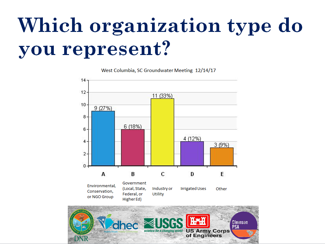
CLEMSON STAKEHOLDER ENGAGEMENT
SC DNR PROCESS UPDATE
SC DNR STEP 2 GROUNDWATER
SC DNR AQUIFER DELINEATION PART 1 OF 2
SC DNR AQUIFER DELINEATION PART 2 OF 2
SC DNR REVISIONS TO THE HYDROGEOLOGIC FRAMEWORK PART 1 OF 2
SC DNR REVISIONS TO THE HYDROGEOLOGIC FRAMEWORK PART 2 OF 2
SC DNR DEVELOPMENT OF A GROUNDWATER RECHARGE MODEL PART 1
SC DNR DEVELOPMENT OF A GROUNDWATER RECHARGE MODEL PART 2
SC DNR DEVELOPMENT OF A GROUNDWATER RECHARGE MODEL PART 3
- Home
- Water Modeling
- Surface Water
- Broad River Basin
- Catawba River Basin
- Edisto River Basin
- Pee Dee River Basin
- Salkehatchie River Basin
- Saluda River Basin
- Santee River Basin
- Savannah River Basin
- Groundwater
- State Water Planning Process Advisory Committee
- Water Demand Projections
- Resources
- News and Videos
- Contacts
Project Partners
Visit the
DNR Hydrology page
for reports and updates
![]()
Visit the
DHEC Bureau of Water page
for regulatory information

Visit the
USGS Current Water Data for SC page
for current state water data
Visit the USGS Groundwater website for useful groundwater information

Visit the
USACE Charleston District page
Visit the
USACE Savannah District page

![]()