
Aquifers - Objectives
Areas
Hydraulic head and groundwater flow
Upon completion, students will be able to:
- Understand concepts needed to measure hydraulic head and horizontal and vertical head gradients in the field
- Survey wells using transits
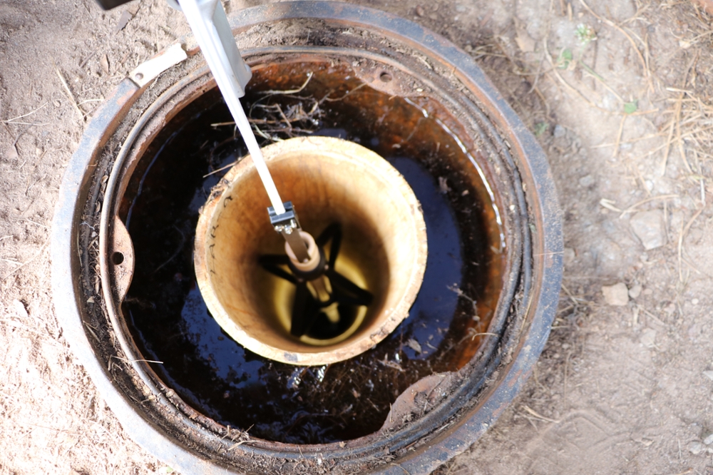
- Determine depth to water using DTW meters
- Estimate the azimuth of groundwater flow
Well-drilling and sampling
Upon completion, students will be able to:
- Understand basic methods for drilling and sampling wells
- Describe the soil core
- Understand the drilling, sampling and completion process for shallow wells
- Describe a soil core or cuttings that you obtained
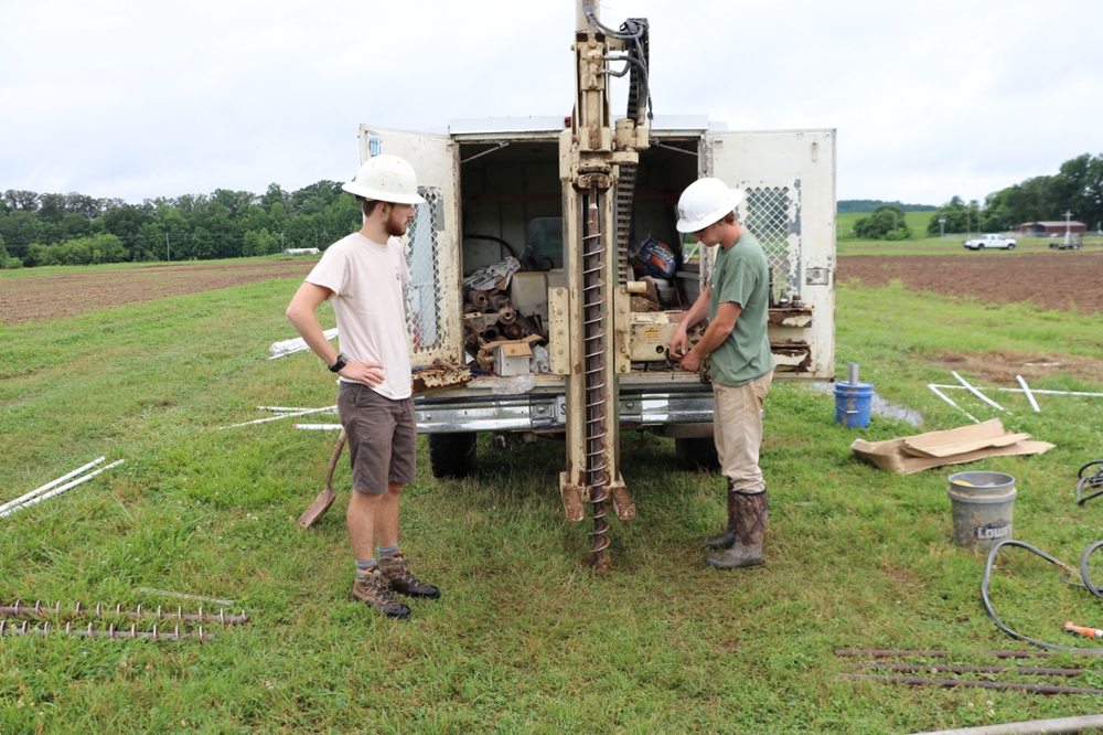
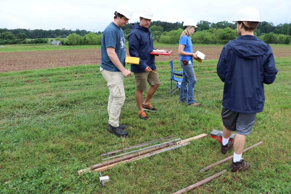
Collecting soil cores with Geoprobe
-
Geoprobe operator conferring with students
-
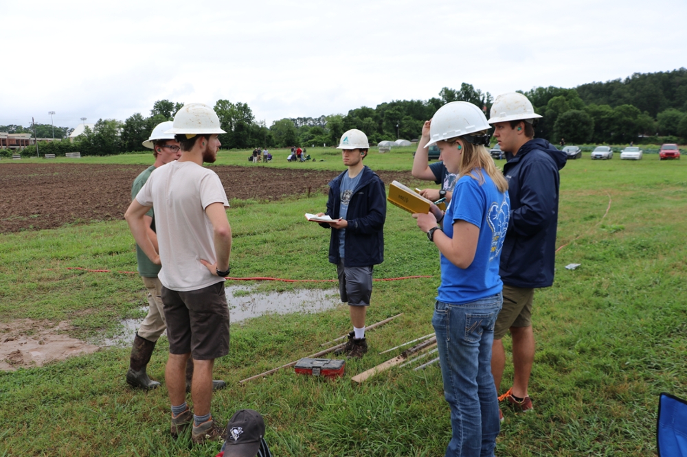
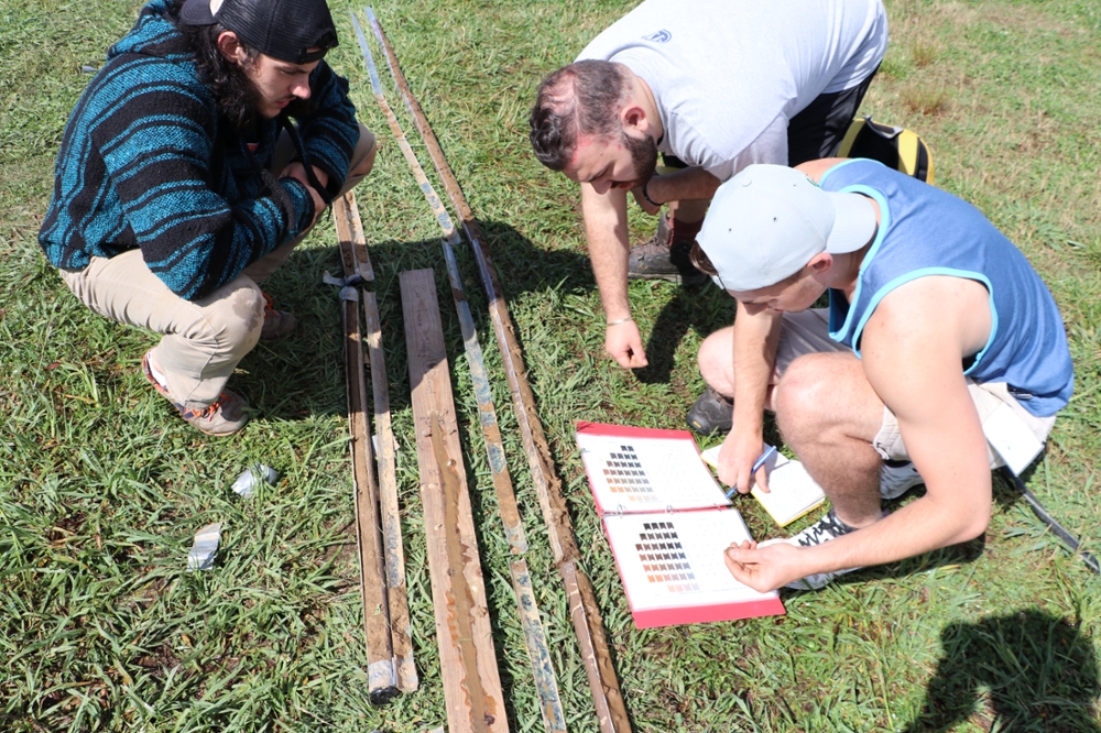
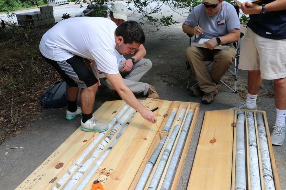
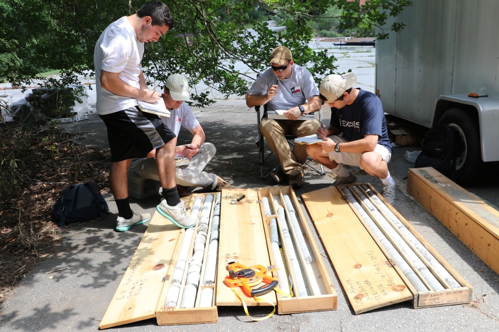
Describing soil cores collected with Geoprobe
-
Describing soil cores collected with Geoprobe
-
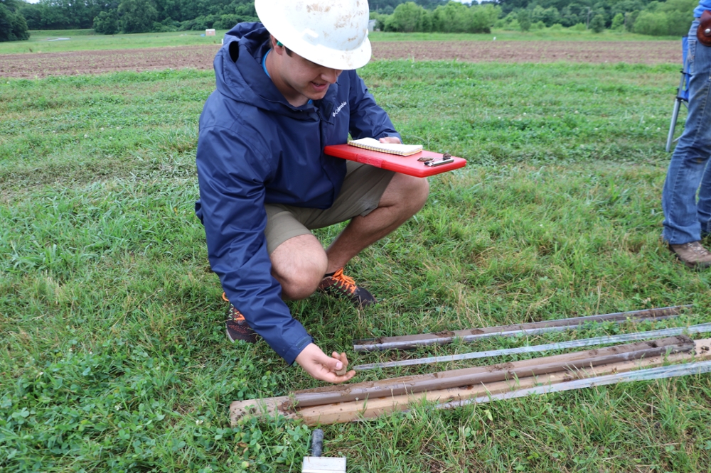
Using a Munsell chart to describe soil core color
-
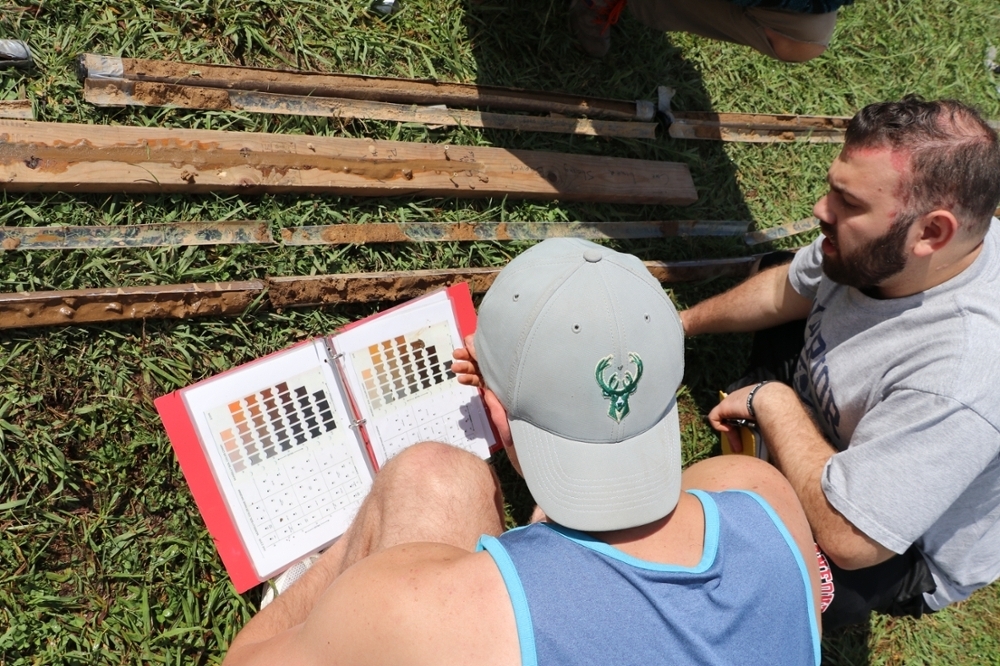
Using a Munsell chart to describe soil core color
Spatial mapping
Upon completion, students will be able to:
- Make a map using a pace (and/or tape) and compass
- Measure locations and elevations using a transit, plot the points on a base map
- Map and describe an outcrop
-
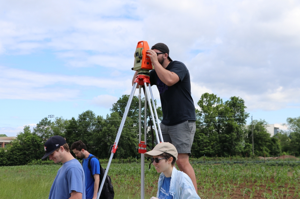
Using total station to survey in well locations and height
-
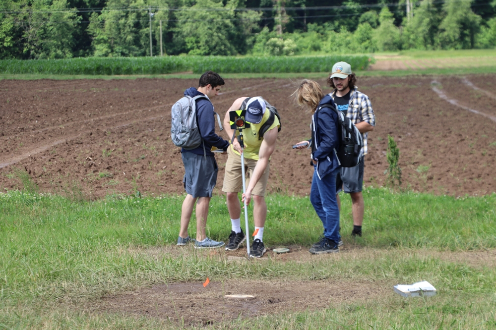
Setting up a prism at a well location for surveying
Describing aquifer materials
Upon completion, students will be able to:
- Describe geologic material exposed in a borehole wall
- Describe core samples from 3 different sites
-
Students describing cores from bedrock wells
-
Students describing cores from bedrock wells
-
Using a downhole camera to view fractures in bedrock wells
-
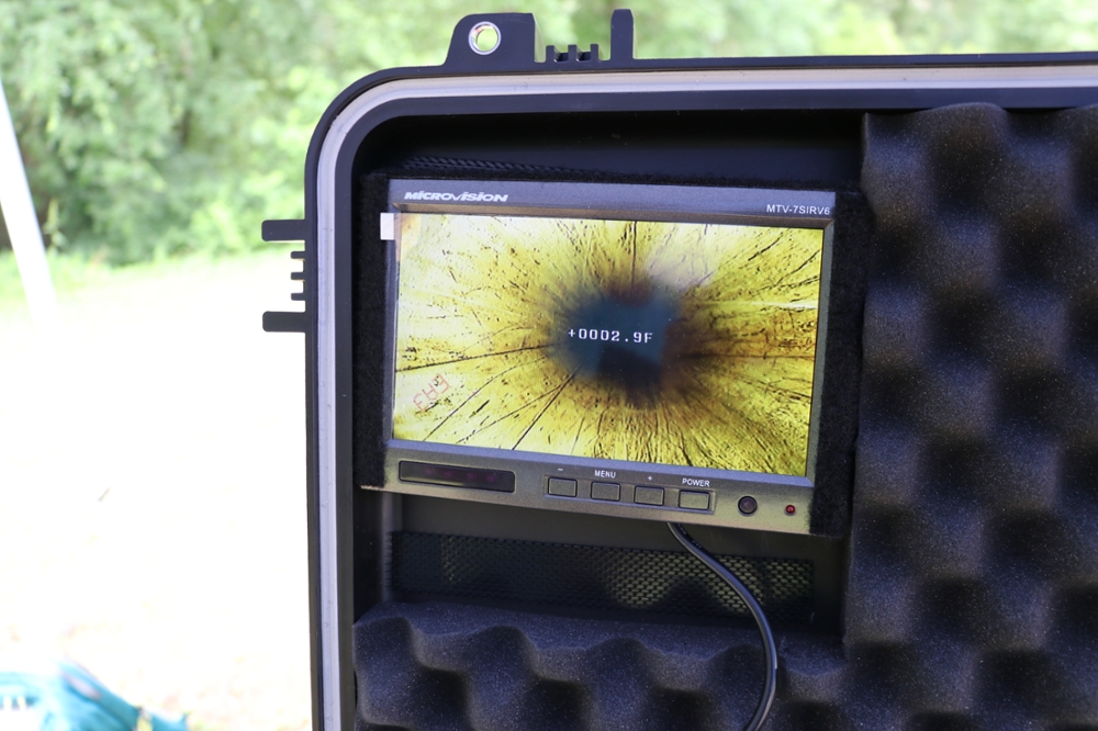
Borehole inspection using downhole camera