Jordan McCall
M.S. Student, Clemson University
James C. Kennedy Waterfowl and Wetlands Conservation Center
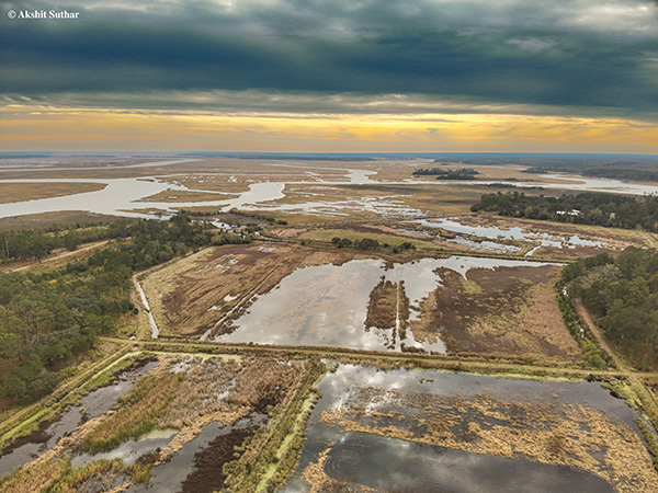
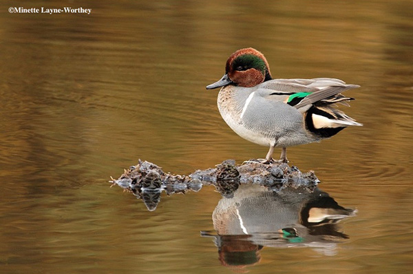
The South Coastal Plain of South Carolina is essential for migrating, wintering, and breeding waterfowl and other waterbirds. Historically, 30 to 50% of Atlantic Flyway green-winged teal (Anas crecca), northern shoveler (Spatula clypeatea), mallard (A. platyrhynchos), northern pintail (A. acuta), American wigeon (Mareca americana), and gadwall (M. strepera) wintered in the region. However, recently, waterfowl have been wintering further north, possibly due to climate change and warming temperatures. Waterfowl often migrate due to changes in habitat conditions, resource availability, nesting location, breeding season, and other factors. Spring migration for waterfowl, specifically, is an essential phase of their annual cycle and can provide critical information when it comes to wetland management. Despite the significance of the Hobcaw Barony in a region historically known as a waterfowl hunting paradise, the long history of the Belle W. Baruch Institute of Coastal Ecology and Forest Science on Hobcaw Barony and the establishment of the James C. Kennedy Waterfowl and Wetlands Conservation Center at the Baruch Institute in 2014, no comprehensive study of waterfowl or waterbirds has occurred on site. Thus, this study aims to form a fundamental baseline of wetland and waterbird data as the beginning of a long-term dataset. Our primary objectives were to 1) document winter and spring temporal trends and spring migration chronology of waterbirds using wetlands on Hobcaw Barony and DeBordieu Colony (an adjacent development) and 2) determine which species have similar migration patterns.
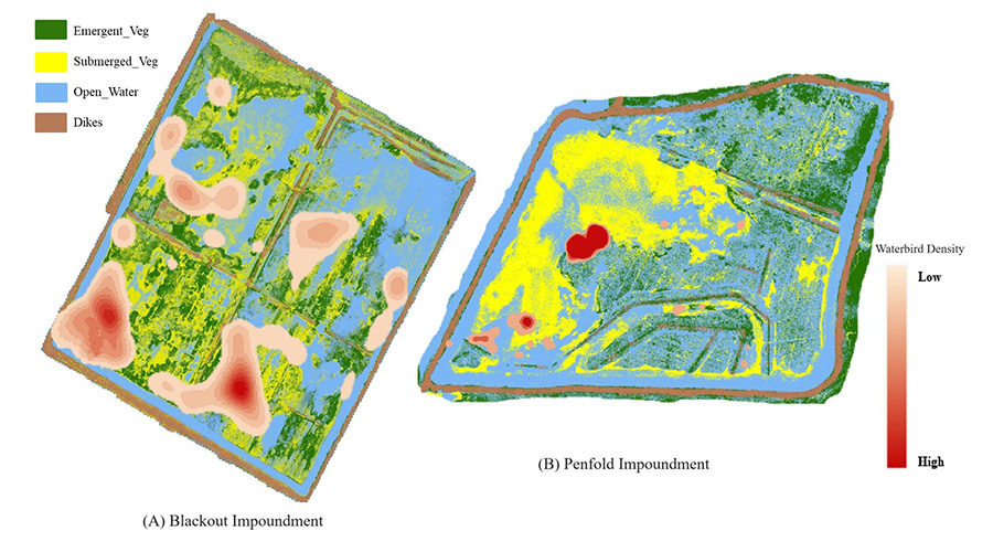
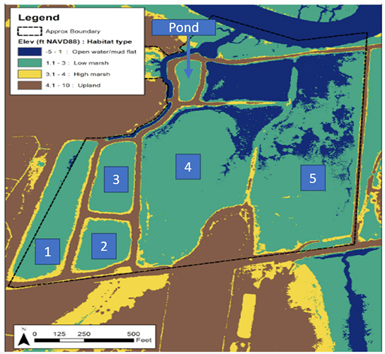
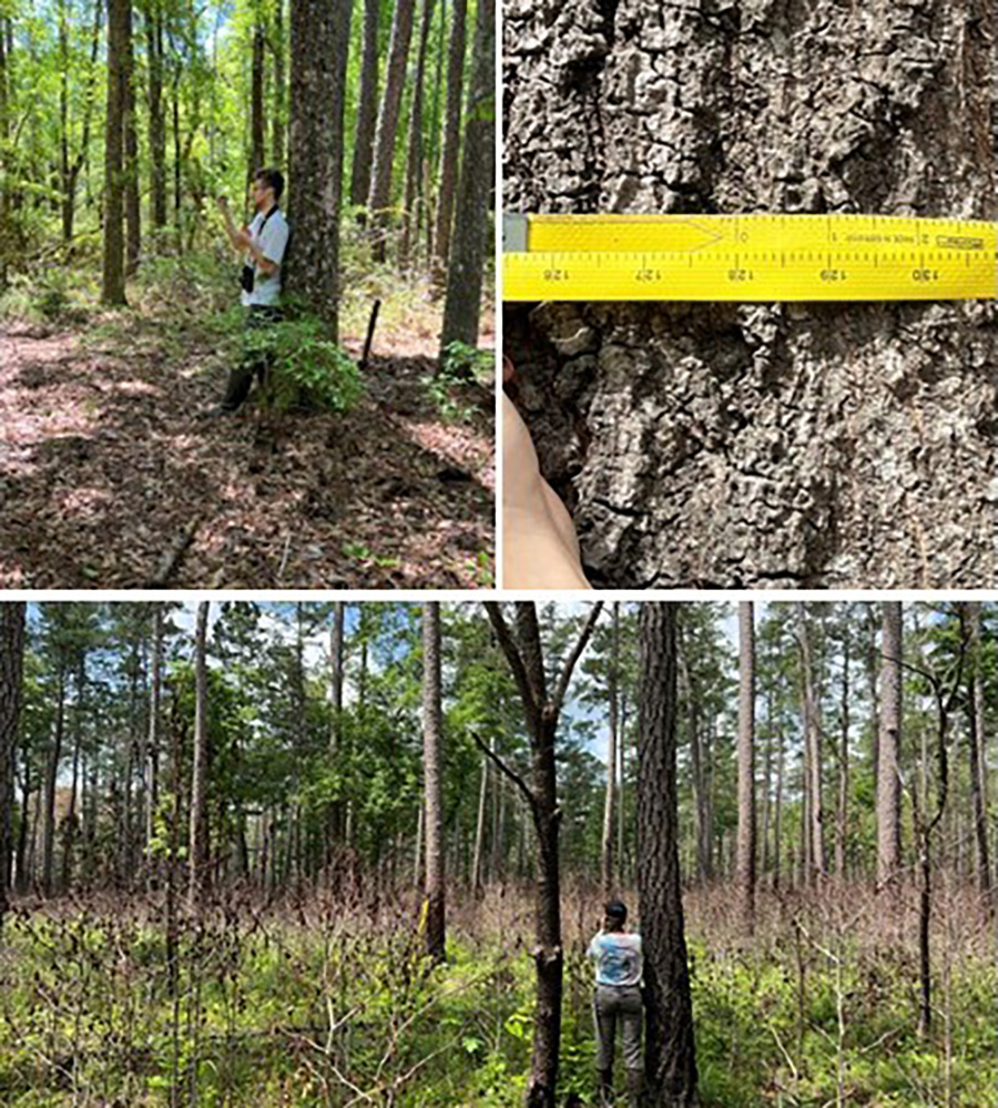
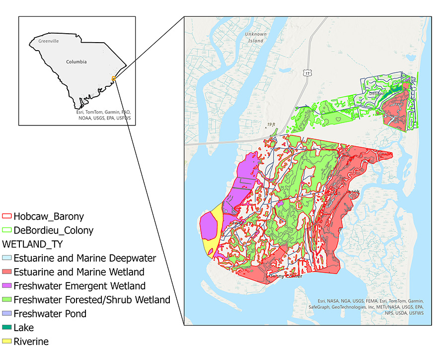
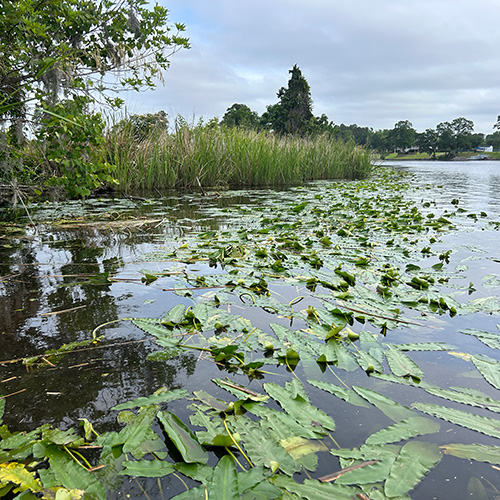
This study along the South Carolina coast began in January of 2022, encompassing extensive, conserved lands and highly developed and altered landscapes. Two field seasons have since been completed from February-July of 2022 and January-July of 2023. Research sites were at the Hobcaw Barony (~7,000 ha) and the DeBordieu Colony (~1,000 ha).
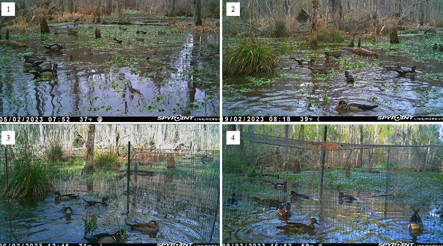
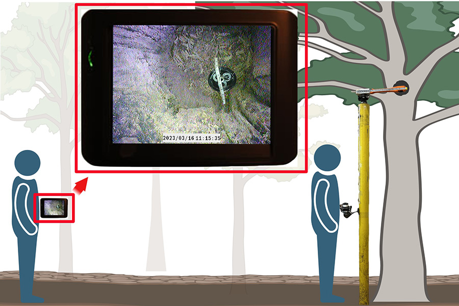
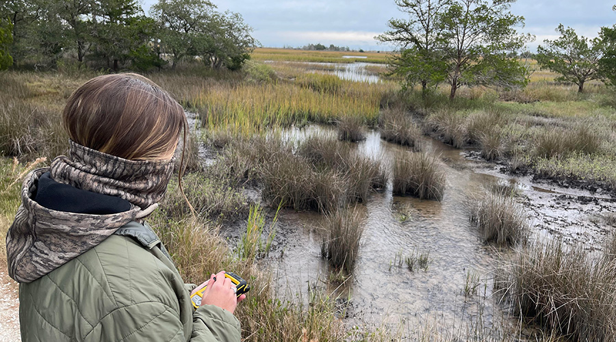
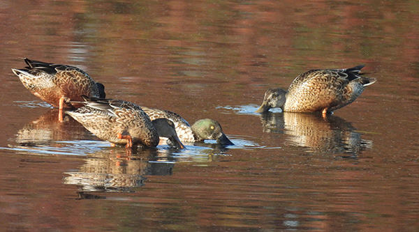
In 2022, we performed point count surveys at 95 randomly selected wetlands, varying by type, and secretive marshbird surveys at 10 emergent wetlands to estimate occupancy rates, species diversity, species abundance, and migration chronology. In 2023, we performed point counts in 98 randomly selected wetlands and secretive marshbird surveys in 8 emergent wetlands. In year 2, we readjusted and maximized sampling effort on wetland types where waterbirds were most abundant and decreased on the remaining types (based on the availability of time to survey) where few birds were observed. To document temporal trends, we averaged species densities in each wetland and graphed them over two-week periods. We also performed a complete linkage hierarchical cluster analysis to identify which species had similar migration patterns.
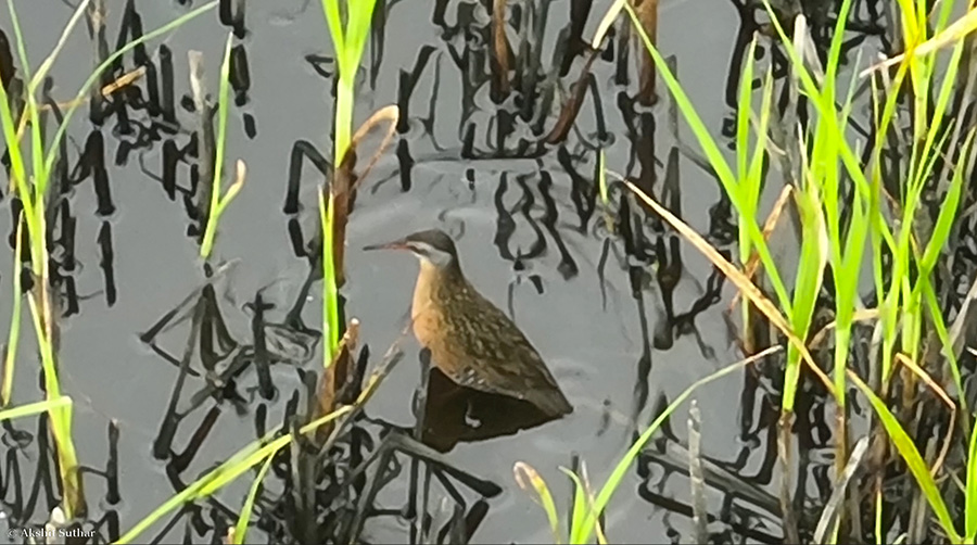
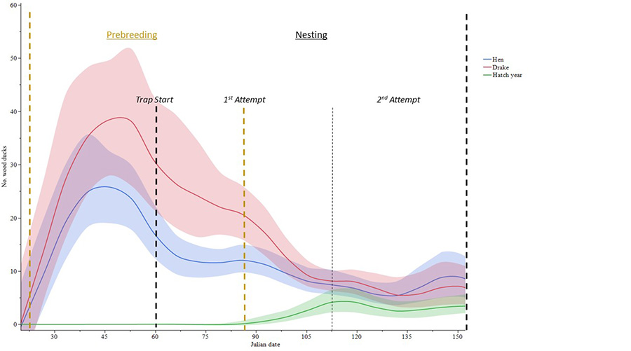
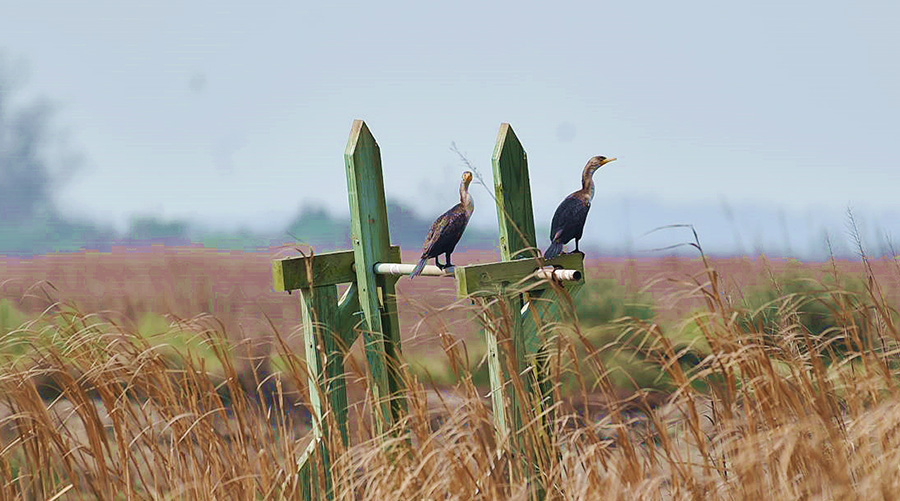
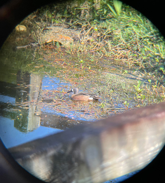
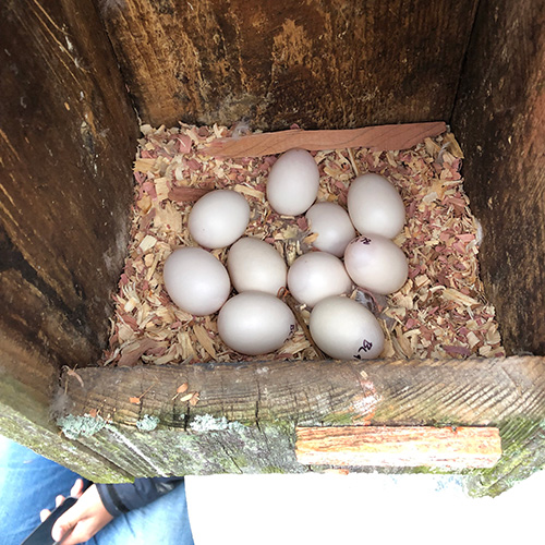
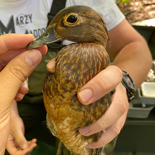
We detected 4,099 waterbirds over our two field seasons. We observed 56 species, with 34 of those species seen in both field seasons, 8 species unique to 2022 and 13 species unique to 2023. We observed 1,518 wading birds (10 species), 744 shorebirds (16 species), 844 waterfowl (13 species), 347 marshbirds (6 species), 161 gulls-terns (6 species), 445 anhingas-cormorants-pelicans (4 species), and 40 grebes (1 species). On average, wading birds peaked in late March at 2.92 ± 1.09 birds/ha; shorebirds peaked in mid-May at 3.37 ± 1.35 birds/ha; waterfowl peaked in late March at 1.91 ± 1.42 birds/ha; secretive marshbirds peaked in late April at 0.83 ± 0.29 birds/ha; pelicans, anhingas, and cormorants peaked in late March at 0.89 ± 0.31 birds/ha, as well as gulls and terns at 0.43 ± 0.27 birds/ha. The cluster analysis revealed two large species clusters, cluster A, more frequently occurring from April to July, and cluster B, more regularly occurring from January to March, including almost all waterfowl species.
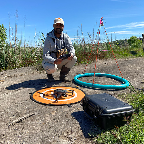
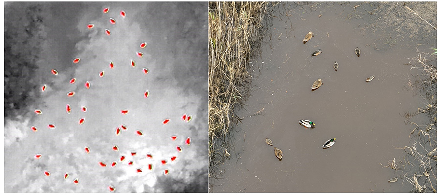
Of the 56 species detected, 14.3% occurred throughout our survey period, with most being herons, egrets, and anhingas. The remaining 85.7% exhibited patterns of increasing or decreasing in the study area due to rainfall, tide levels, and simply using the property as a stopover site during migration. Our study identified a very low overall density for most species, which could have been due to weather during our field seasons, such as a lack of rainfall or overall low habitat quality. When Hurricane Hugo hit these properties in 1989, it caused a decline in the total number of vegetation species present at Hobcaw, with Phragmites rapidly colonizing these areas. Further vegetation declines occurred between 2013 and 2015, likely due to rising sea levels and an increase in water salinity, possibly contributing to the low species densities. We recommend that future managers of these and surrounding properties use these data to know when and how to manipulate their wetlands. Future research could include performing point-count surveys during low or high tide only to standardize conditions, using drone technology to increase counts further than just the eye can see, and collecting macroinvertebrate data more often (e.g., monthly) to analyze how their population densities align with waterfowl.
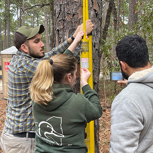
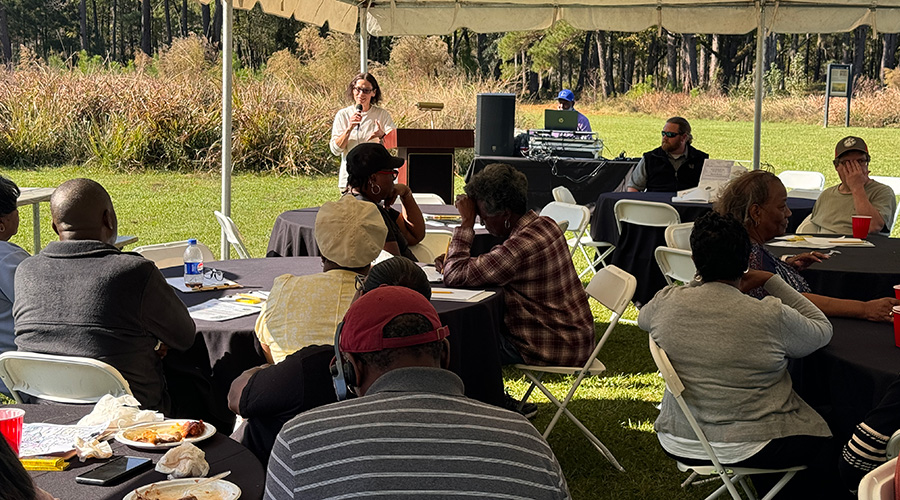
This study would not have been possible without funding support from the DeBordieu Colony and the James C. Kennedy Waterfowl and Wetlands Conservation Center, and logistical support from the Nemours Wildlife Foundation, Belle W. Baruch Foundation, and Clemson’s Department of Forestry and Environmental Conservation. We also appreciate Jack Corbin, Anna Koon, Carly Sprott, and Blair Abernathy for their assistance in the field.