Thematic Modules
Our program is divided into thematic modules, with each module consisting of related activities, four activity days, and a synthesis day.
We use an online, hands-on approach: the content you learned in class is delivered online, and the actual measurements are taken in the field. This approach means you acquire the pertinent knowledge to complete the activity before entering the field. You are expected to go online, ideally the night before, and:
- Review the written descriptions and background material
- Watch the pre-recorded lecture(s)
- Complete and pass the required quiz
In the field, the dedicated Teaching Assistant (a graduate student who has previously attended our camp) for that module briefs you on the activity, shows you how to use the equipment, and provides assistance as needed. The instructors rotate among modules but are on call to assist groups. A report for each activity is due at the end of the synthesis day and consists of goals, methodology, data collected, analysis, and results. Graduate students are required to write several reports during the field camp in addition to the assignments given to the undergraduate students.
Many of the projects in this class require collaboration with peers because certain methods cannot be completed individually or because teaming up with others is beneficial for learning a new technique.
-
Aquifers
Hydraulic head and groundwater flow: Upon completion, students will be able to:
- Understand concepts needed to measure hydraulic head and horizontal and vertical head gradients in the field
- Survey wells using transits
- Determine depth to water using DTW meters
- Estimate the azimuth of groundwater flow
Well-drilling and sampling: Upon completion, students will be able to:
- Understand basic methods for drilling and sampling wells
- Describe the soil core
- Understand the drilling, sampling and completion process for shallow wells
- Describe a soil core or cuttings that you obtained
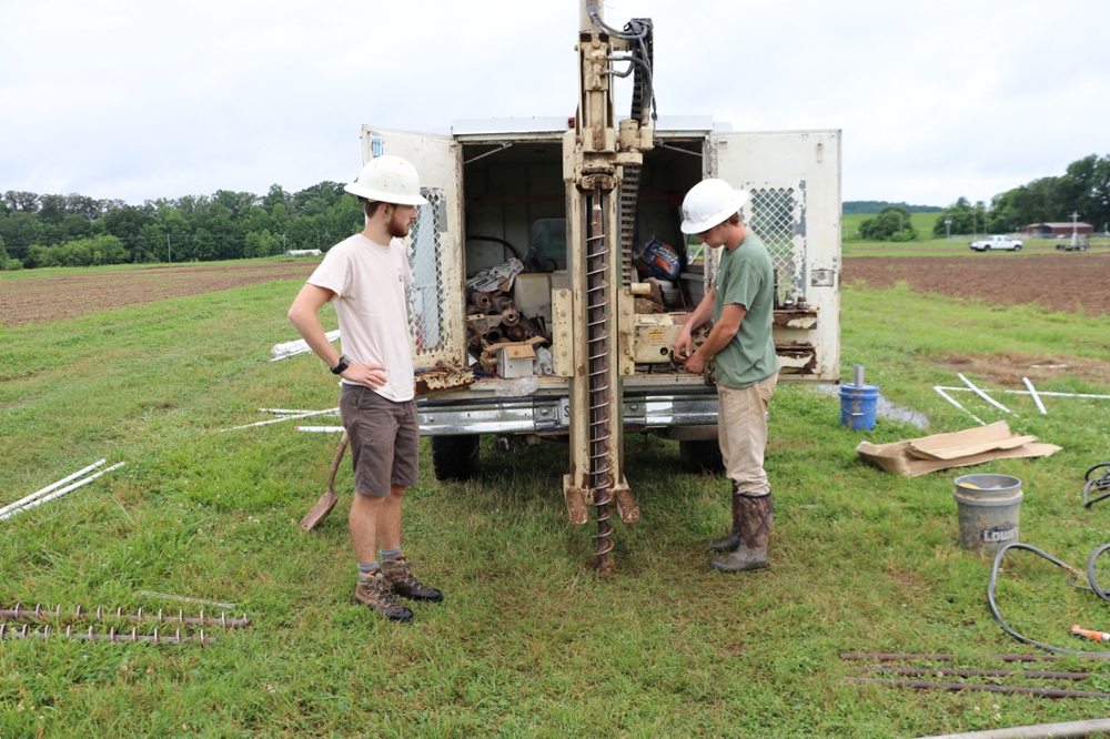
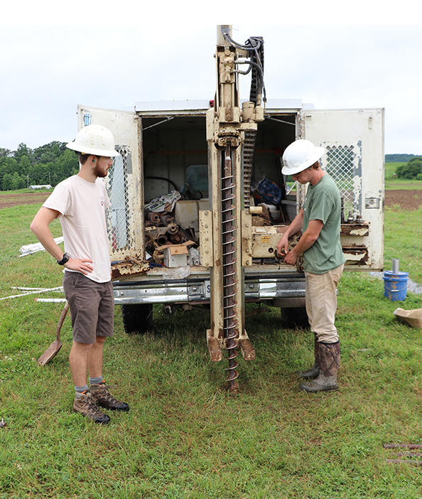
Collecting soil cores with Geoprobe
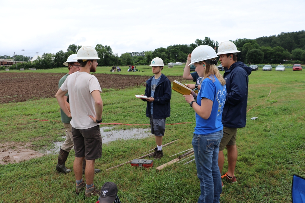
Geoprobe: Operator conferring with students
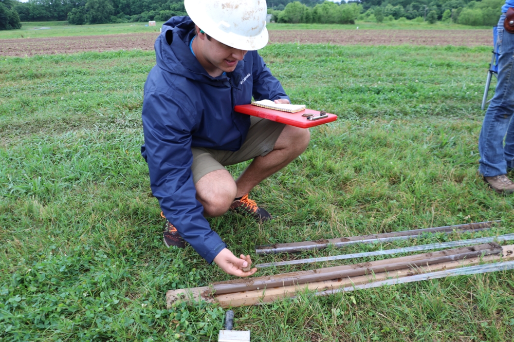
Student describing soil cores collected with Geoprobe
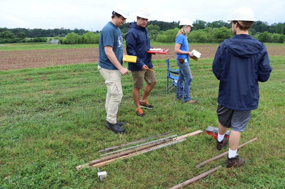
Group describing soil cores collected with Geoprobe
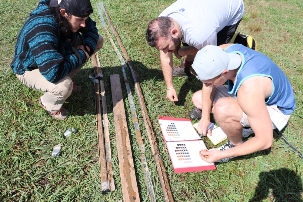
Using a Munsell chart to describe soil core color
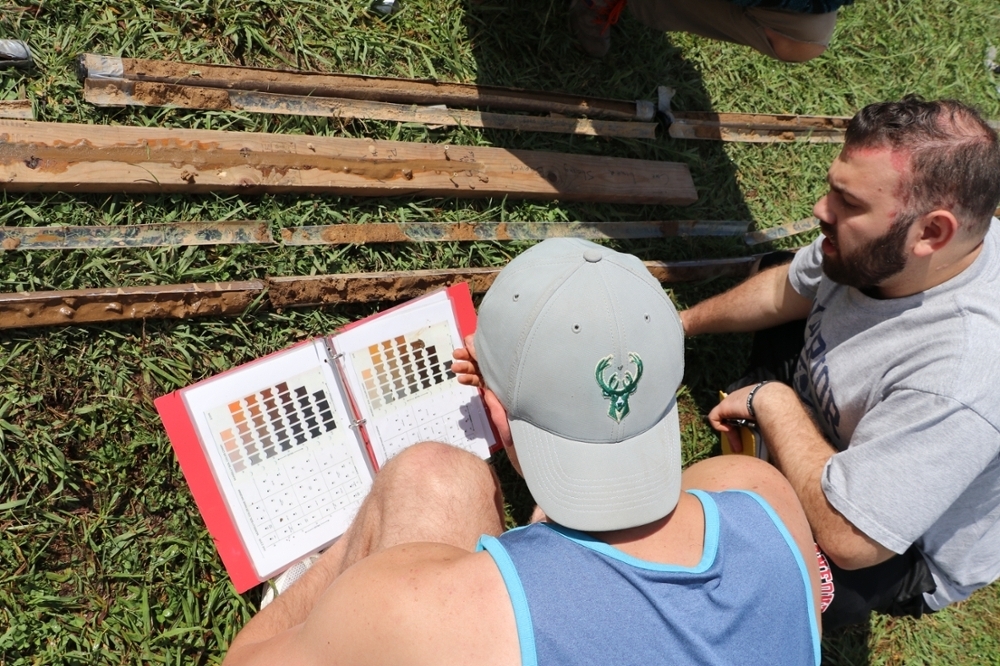
Close-up use of a Munsell chart to describe soil core color
Spatial mapping: Upon completion, students will be able to:
- Make a map using a pace (and/or tape) and a compass
- Measure locations and elevations using a transit, and plot the points on a base map
- Map and describe an outcrop
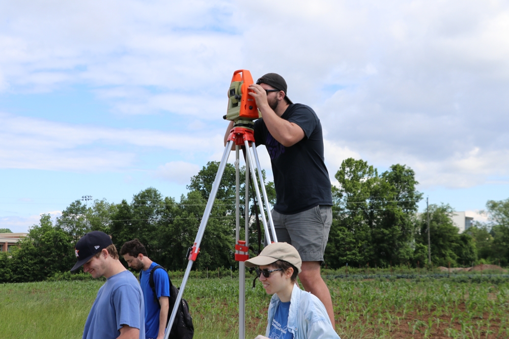
Using a total station to survey in well locations and height
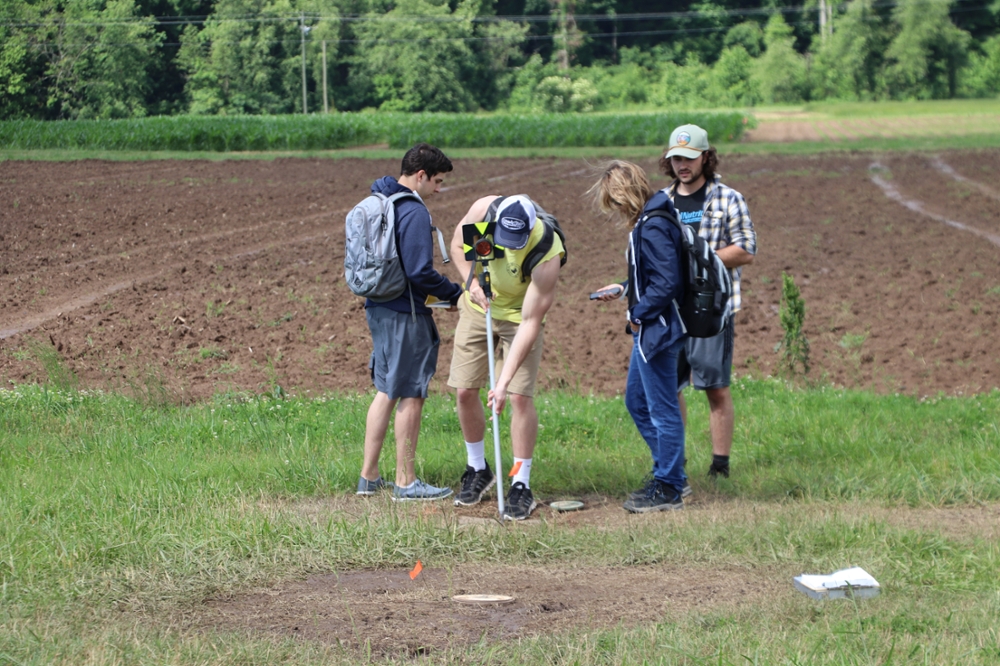
Setting up a prism at a well location for surveying
Describing aquifer materials: Upon completion, students will be able to:
- Describe the geologic material exposed in a borehole wall
- Describe core samples from 3 different sites
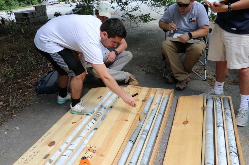
Students describing cores from bedrock wells
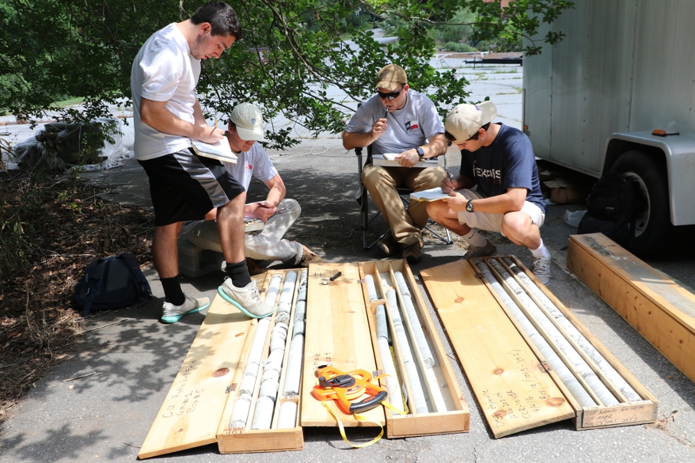
Students describing cores from bedrock wells
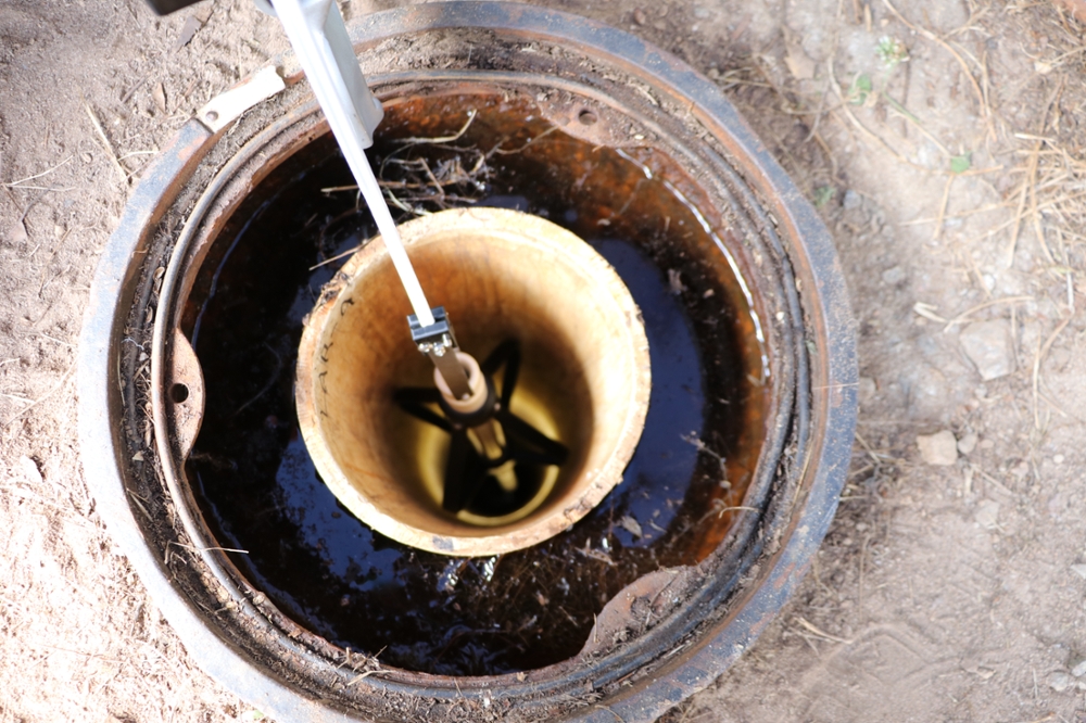
Using a downhole camera to view fractures in bedrock wells
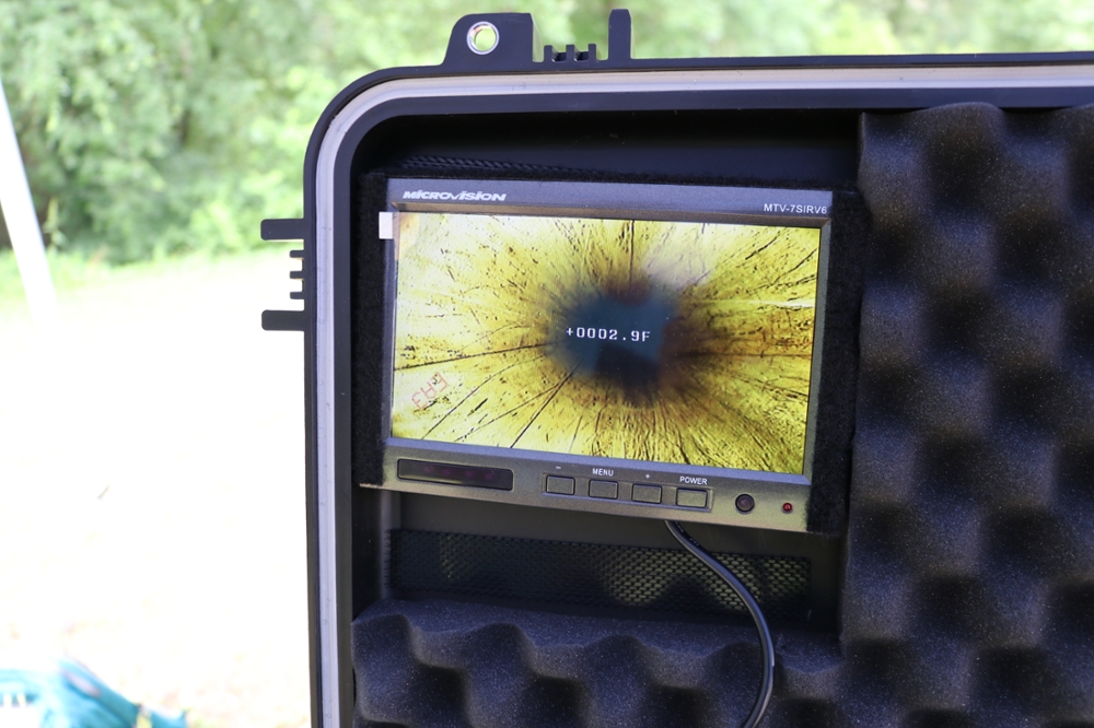
Borehole inspection using a downhole camera
-
Soils
Soil background: Upon completion, students will be able to:
- Recognize applications for vadose zone hydrology
- Describe and classify soils
- Measure soil moisture in the field and lab
- Measure hydraulic conductivity and pore pressure in the field
- Use field measurements to calculate the flow
Soil description: Upon completion, students will be able to:
- Characterize soils using the USDA and USCS methods
- Describe soils in a field setting
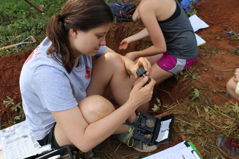
Student learning to use a shear vane to measure soil strength
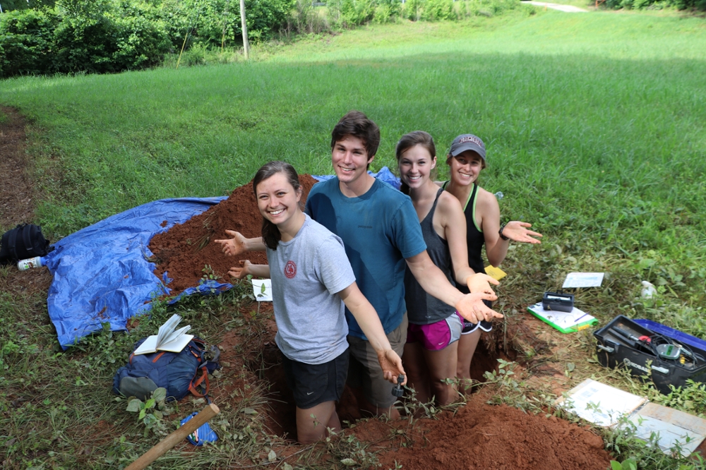
Student group in their soil pit
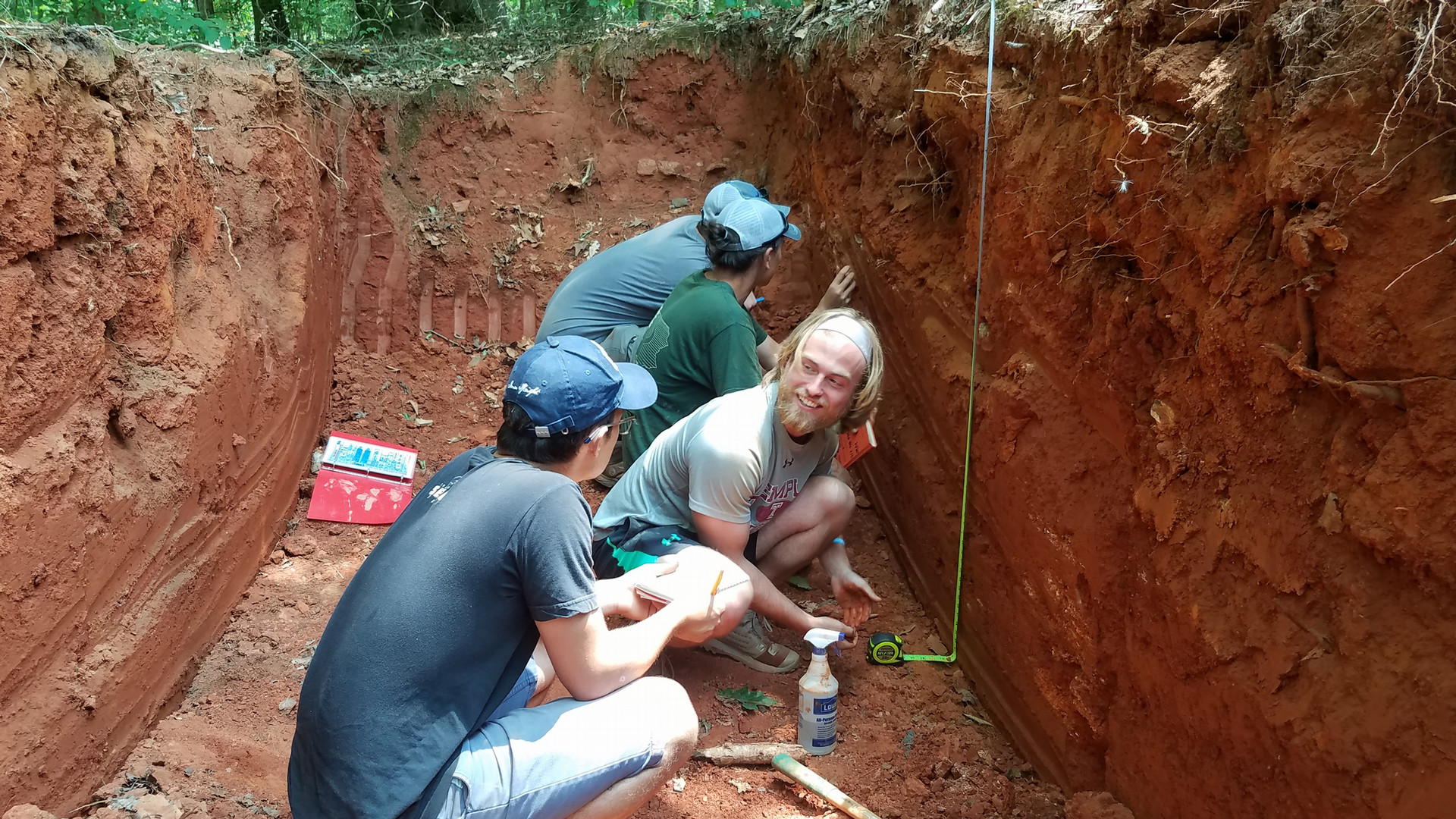
Soil characterization
Pressure and moisture in the soil: Upon completion, students will be able to:
- Understand the principles of pressure, moisture content, and flow in soil
- Measure the pressure in the soil in the field
- Measure moisture content in the field and lab
Hydraulic conductivity of soils: Upon completion, students will be able to:
- Understand relative permeability and Darcy's Law in the vadose zone
- Conduct tests with field permeameters
- Analyze data from field permeameters and use the results to solve problems
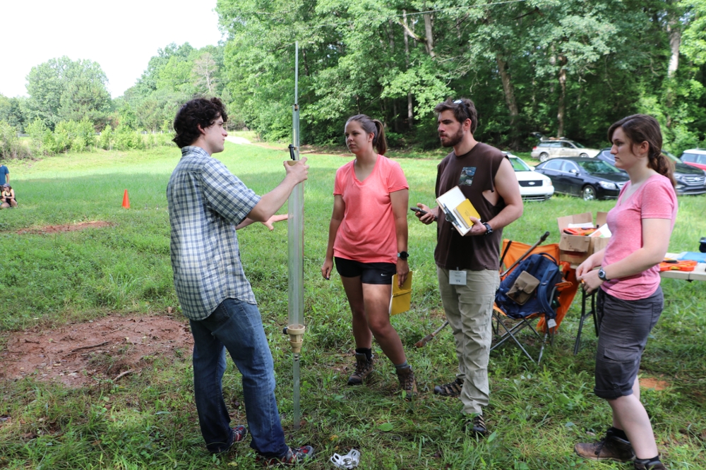
TA explaining the operation of the Guelph permeameter
-
Streams
Stream gauging and hydraulic gradient: Upon completion, students will be able to:
- Measure the volumetric flow rate in a stream
- Characterize the change in flow with distance
- Use Manning's Law with stream gauging to characterize channel roughness
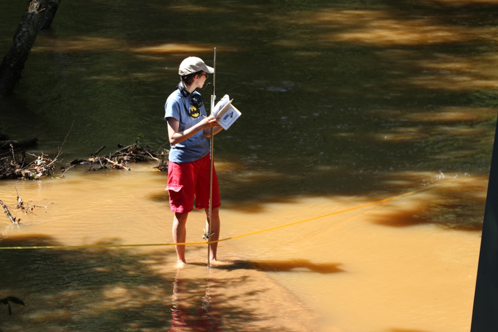
Using a pygmy meter to measure stream velocity
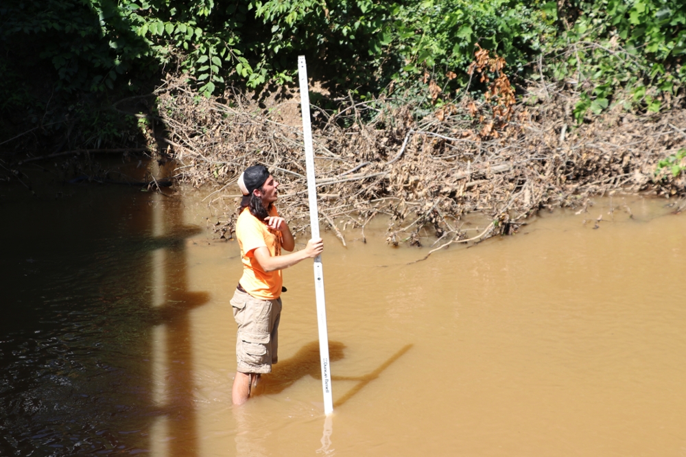
Measuring stream gradient
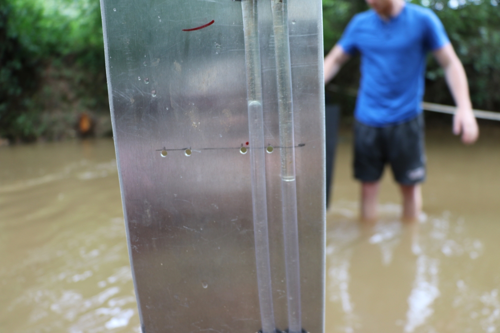
Using a manometer to determine stream velocity
Interaction between groundwater and surface water: Upon completion, students will be able to:
- Characterize the interaction between groundwater and surface water
- Measure the groundwater discharge to a stream
- Measure the vertical hydraulic head gradient in a stream bed
- Estimate the hydraulic conductivity of a stream bed
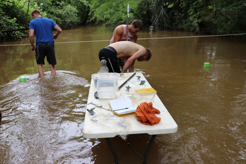
Students installing seepage meters
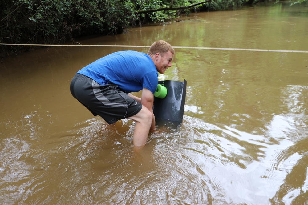
Student installing seepage meter
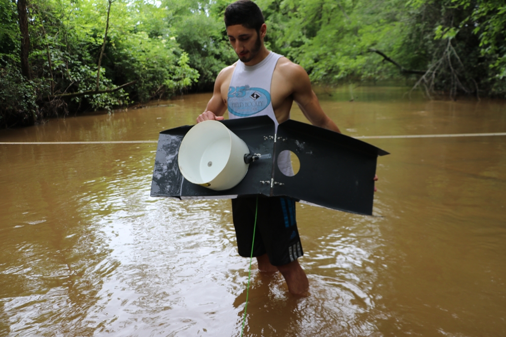
Student inspecting seepage meter
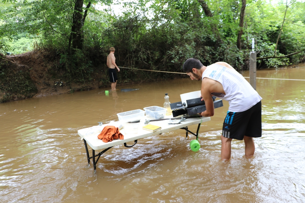
Student setting up a seepage meter
Water balance and water quality: Upon completion, students will be able to:
- Recognize a stream hydrograph
- Be aware of methods for analyzing hydrographs and recognizing some of the insights that can be gained from them
- Be aware of factors affecting water quality and basic measurements of water quality
- Make water quality measurements and use them to make hydrogeologic inferences
Water and sediment sampling: Upon completion, students will be able to:
- Use methods for sampling surface water and groundwater
- Use selected methods for sampling and characterizing water
- Take sediment cores and analyze the rain-size distribution
- Measure the bed-load transport rate across the width of the channel
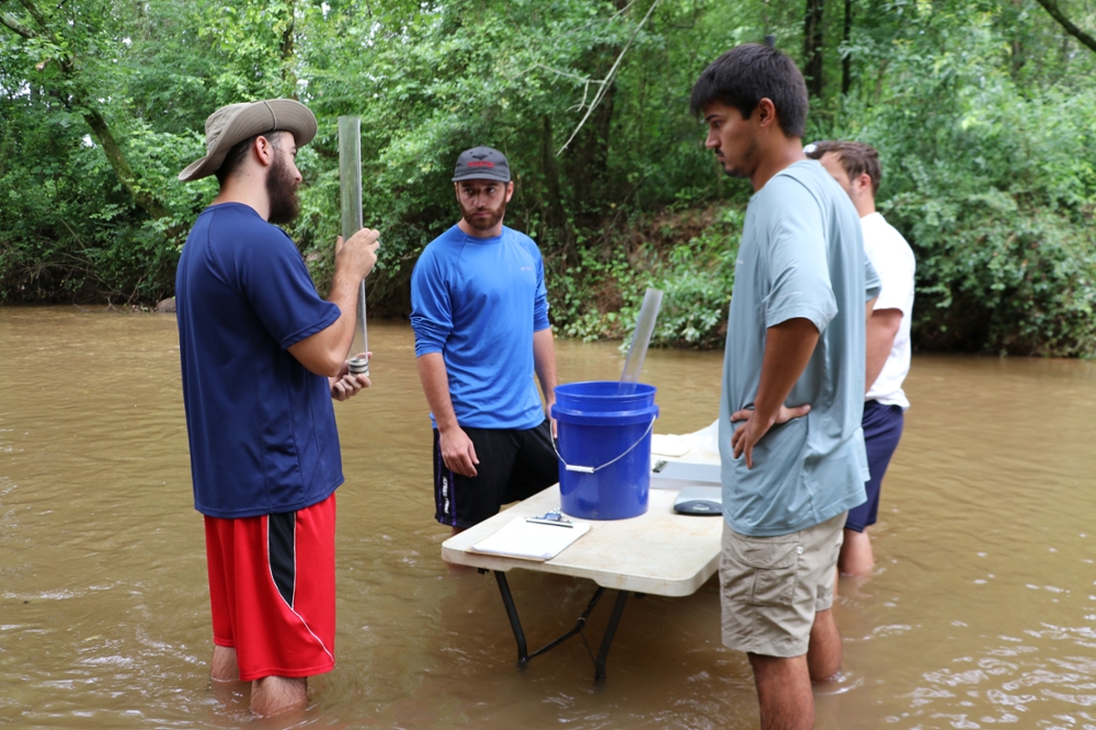
TA explaining the use of stream sediment coring tool
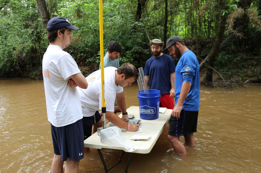
Students preparing to use a bedload sampler
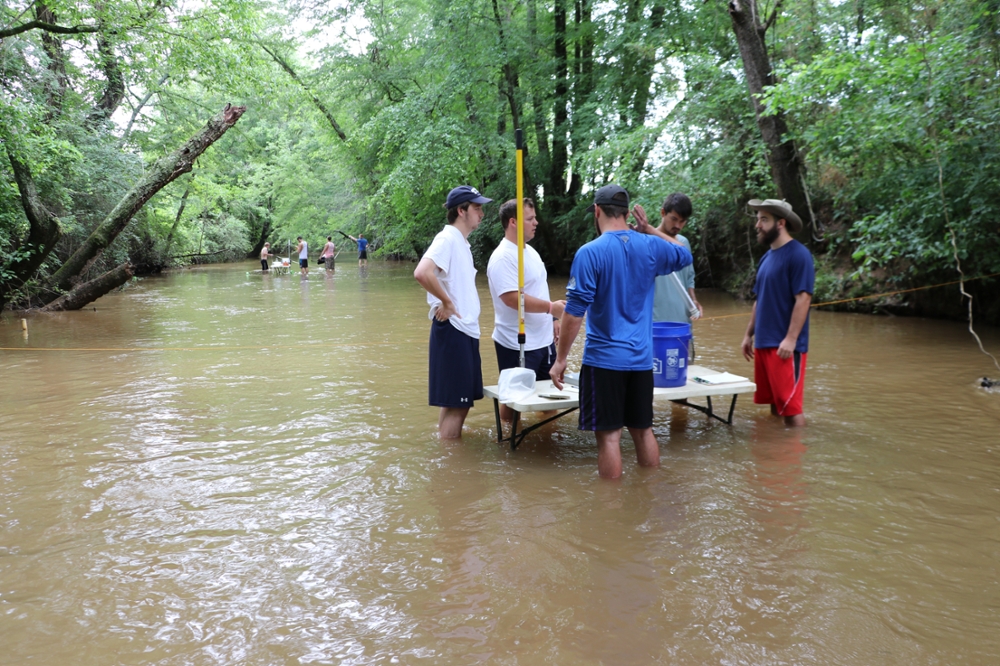
Nice place to be on a hot summer day
-
Wells
Slug testing: Upon completion, students will be able to:
- Plan and conduct a slug test to estimate aquifer conductivity.
- Analyze a slug test using both graphical methods and software (Aqtesolv).
- Conduct slug tests in an open hole, a screened well, and with packers to test a single fracture.
- Understand the advantages and disadvantages of the test.
- Describe the uncertainty in your measurements
Pumping test in fractured bedrock: Upon completion, students will be able to:
- Plan, conduct and analyze a pumping test in a confined aquifer.
- Characterize well efficiency and specific capacity.
- Use software to analyze pumping test results.
- Explore potential sources of uncertainty in your results.
- Assess your data for evidence of interactions with hydrologic boundaries.
Pumping test in a confined aquifer: Upon completion, students will be able to:
- Plan, conduct and analyze a pumping test in a confined aquifer.
- Characterize well efficiency and specific capacity.
- Use software to analyze pumping test results.
- Explore potential sources of uncertainty in your results.
- Assess your data for evidence of interactions with hydrologic boundaries.
Well-drilling and installation: Upon completion, students will be able to:
- Learn how to prepare documents for a well permit.
- Oversee drilling, completing, and developing a new well in the field.
- Create a log of the well boring during drilling.
- Describe the well construction and completion.
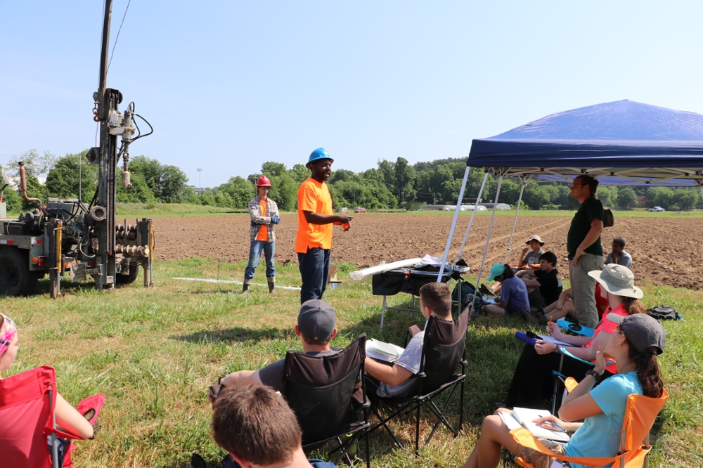
Ken Pimienta explaining the drilling process
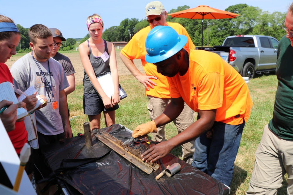
Ken showing how a split spoon sampler works
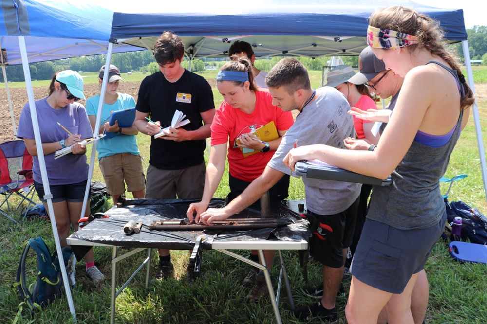
Students describing the split spoon sample
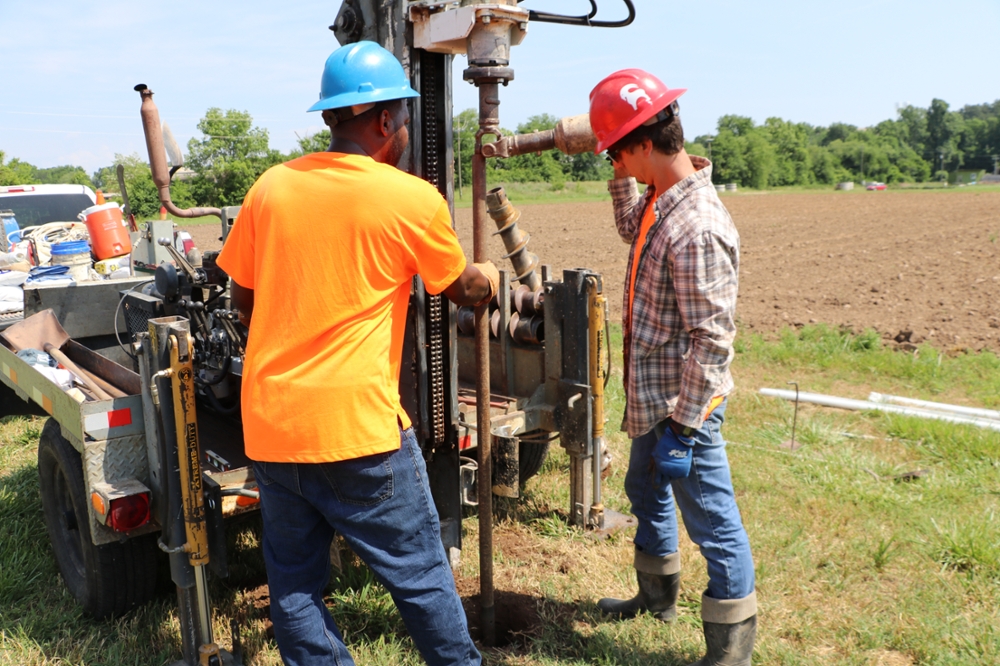
Students installing well casing
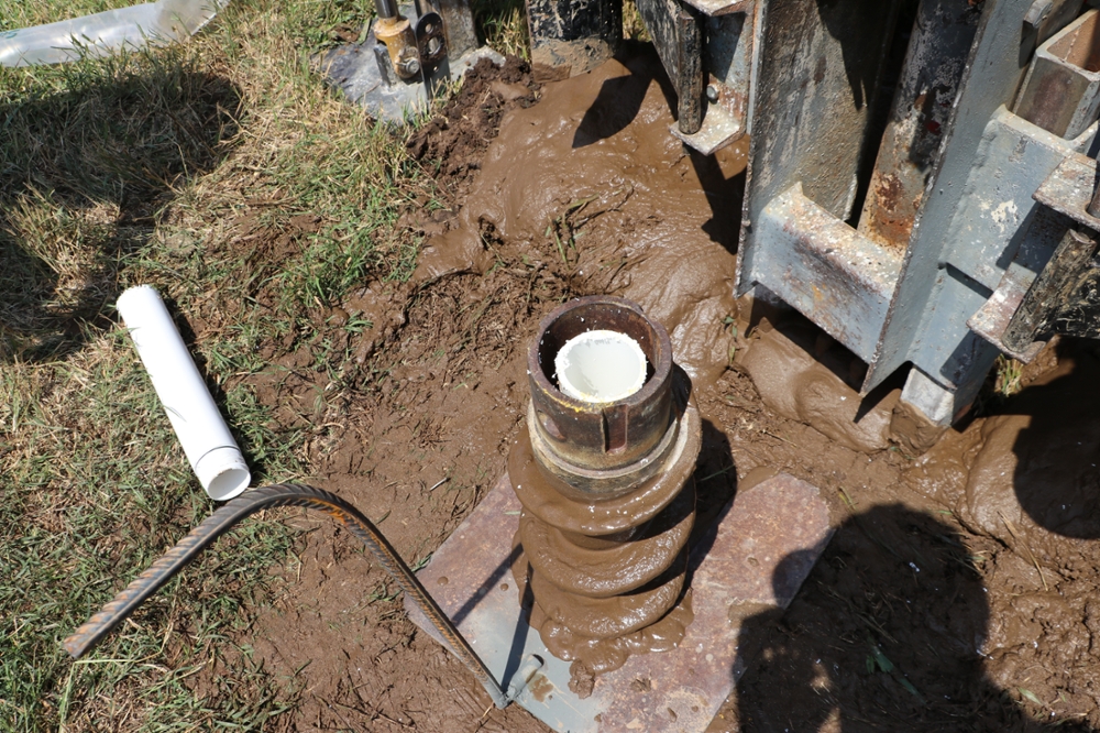
Completed well with augers still in the hole
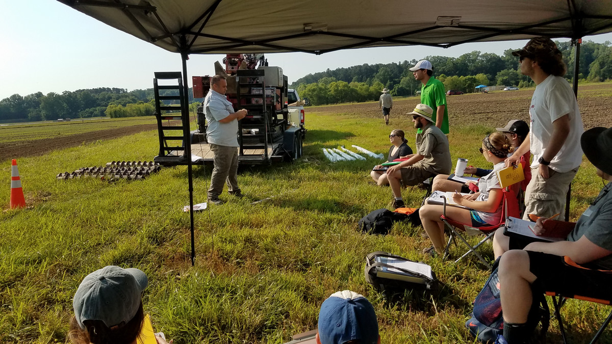
Instructor explaining the process of drilling a new well